

Middle Tennessee is a region of stunning beauty, from the neon lights of Broadway in Nashville to the rolling hills of the Natchez Trace. However, if there is one thing any seasoned traveler knows, it is that Southern weather can change in a heartbeat.
Whether you are planning a weekend hike or a scenic road trip, keeping an eye on the skies is crucial. Thankfully, the National Weather Service provides incredible public resources to help you stay ahead of any sudden storm.

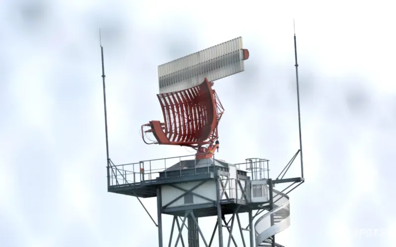
Unlocking the Power of Local Radar and Satellite Imagery
When you are out on the road, static forecasts just do not cut it. You need real-time data to know if that dark cloud overhead is a passing shower or a severe thunderstorm.
The Nashville NWS office operates the KOHX enhanced radar, which gives you minute-by-minute updates on precipitation. By checking these interactive local radars, you can easily time your outdoor activities between rain bands.
Additionally, high-resolution GOES imagery for the Nashville sector offers breathtaking, real-time satellite views of cloud formations. This allows you to visualize atmospheric changes as they happen across the state.
Navigating Rivers and Lakes Safely
Planning a kayaking trip down the Harpeth River or camping near Percy Priest Lake? Water safety is a major part of exploring Tennessee's gorgeous waterways.
The newly launched National Water Prediction Service (NWPS) is an absolute game-changer for outdoor enthusiasts. It provides detailed river monitors, lake levels, and drought maps to ensure your water adventures are safe and fun.
Before launching your canoe, always check the NWPS local view to avoid dangerously high currents or unexpected flooding. It is a simple step that can save your trip—and your life.

Real-Time Hazard Monitoring and Community Input
If severe weather does strike, NWS Nashville has a robust system to keep the public informed. From wireless emergency alerts to graphical hazardous weather outlooks, you will never be left in the dark.
What makes this system truly unique is the integration of community programs like SKYWARN storm spotters and CoCoRaHS. These dedicated volunteers provide ground-truth observations that satellites might miss.
As a traveler, you can even submit your own storm reports directly to the NWS. This collaborative effort helps the entire community stay resilient and weather-ready.
For more official safety frameworks, you can explore resources provided by the National Oceanic and Atmospheric Administration to understand how extreme weather patterns are predicted.
Frequently Asked Questions
Where is the NWS Nashville office located?
The National Weather Service office for Middle Tennessee is located at 500 Weather Station Road in Old Hickory, TN.
What is the National Water Prediction Service (NWPS)?
The NWPS is a modern tool that monitors river and lake levels, providing crucial flood forecasts and water data for travelers and residents alike.
How can I stay updated on sudden weather changes while traveling in Tennessee?
You can monitor local radar (KOHX), enable Wireless Emergency Alerts on your phone, and check the hourly graphical forecasts provided by NWS Nashville.
Enjoyed How to Navigate Middle Tennessee Weather Like a Pro Traveler? Why not explore our other posts, such as Del Mar Beach Rules: Guide to Sand Digging & Local Laws, How El Niño Weather Impacts Your Global Travel Plans, and Beat the Crowds at Machu Picchu: Insider Secrets for a Quiet Visit.
Comments (0)